Links
Australian CliMate

CliMate is a suite of climate analysis tools delivered on the Web, iPhone, iPad and iPod Touch devices. CliMate allows you to interrogate climate records to ask questions relating to rainfall, temperature, radiation, and derived variables such as heat sums, soil water and soil nitrate, and well as El Nino Southern Oscillation status. It is designed for decision makers whose business relies on the weather.
SILO climate database
SILO curates long term climate data (current to yesterday) and is the primary source for SWApp
Hosted by the Queensland Government.
Soil Matters (1998)
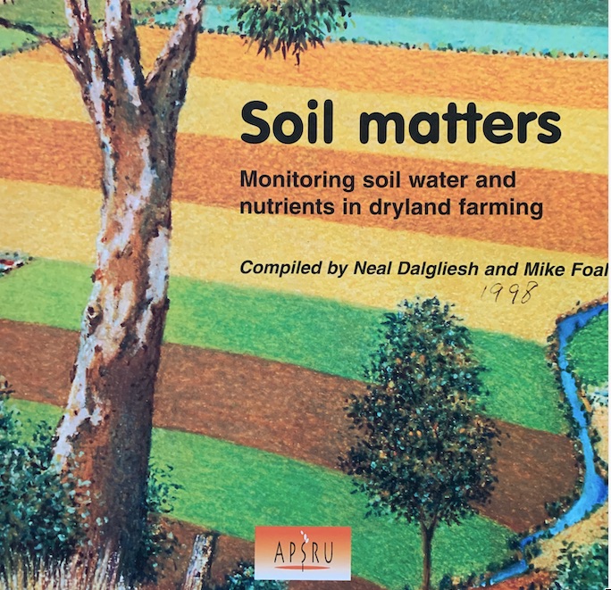
Monitoring Soil Water and Nutrients in Dryland Farming
ApSoil

APSoil is a database of soil water characteristics enabling estimation of Plant Available Water Capacity for individual soils and crops. It covers many cropping regions of Australia and is regularly updated. It is designed for use in simulation modelling and agronomic practice.
Soil moisture monitoring in dryland cropping - Victoria

The Victorian Department of Environment and Primary Industries provides live soil moisture data to support dryland farmers and advisors validate soil monitoring technology and conduct training.
Weather stations (WA)
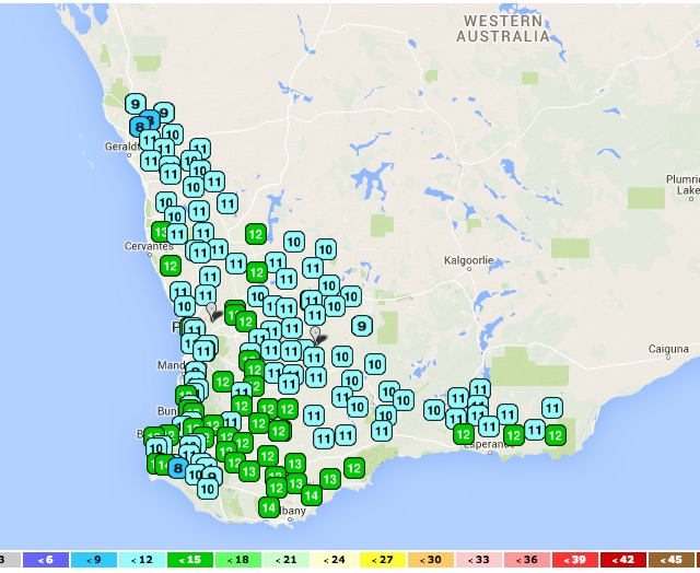
Western Australia's Department of Agriculture and Food, (DAFWA) network of automatic weather stations provide local weather data for more informed decisions. Data includes air temperature, humidity, rainfall, wind speed and direction, with most stations measuring solar radiation to estimate evaporation.
CosmOz -using space radiation to estimate soil water
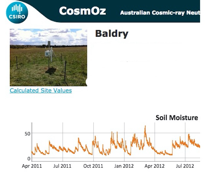
CSIRO has installed cosmic-ray probes at a number of locations around Australia to form the inaugural CosmOz network. Each probe uses cosmic rays to measure average soil moisture over an area of about 30 hectares to 10 to 50 cm depth.
Each installation has a cosmic ray neutron detector, satellite telemetry, rainfall, temperature, humidity and pressure sensors and three surface moisture (TDR) probes. Data is logged and transmitted every 60 minutes to the CosmOz database.
Grains Research and Development Corporation

The Grains Research and Development Corporation (GRDC) is responsible for planning, investing in and overseeing RD&E across the Australian grains industry. GRDC’s primary objective is to drive the discovery, development and delivery of world-class innovation to enhance the productivity, profitability and sustainability of Australian grain growers and benefit the industry and the wider community.
Long Paddock
The Long Paddock website is operated within the Department of Science, Information Technology and Innovation (DSITI) hosts a range to risk anlysis tools:
- Webinars dealing with climate analysis
- SPOTA-1 Pacific Ocean sea surface temperatures (SSTs) from March to October to provide long-lead 'outlooks' for Queensland summer rainfall.
- FORAGE information relating to climate and pasture condition at user-specified locations.
- AussieGRASS assessing and monitoring condition of Australia's extensive grazing lands.